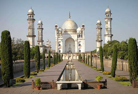
Aurangabad Travel Guide:

Introduction
Aurangabad District is one of the 35 districts of Maharashtra state in western India. It is bordered by the districts of Nashik to the west, Jalgaon to the north, Jalna to the east, and Ahmednagar to the south. Aurangabad is the headquarters and principal city. The district covers an area of 10,100 km², out of which 141.1 km² is urban area and 9,958.9 km² is rural.
Geography
Aurangabad District is located mainly in the Godavari River Basin and partly in the Tapi River Basin. The district is from 19 to 20 degrees north longitude and 74 to 76 degrees east latitude.
Climate
In Aurangabad District the rainy season runs from June to September. Winter is from approximately October to February and summer from March to May. The average rainfall of Aurangabad district is 734 mm, and the temperature range is about 5–46 degrees Celsius.
Rail
The Manmad-Kachiguda Railway Station Broad gauge railway line which emanates from the Mumbai-Bhusawal-Howrah trunk route at Manmad is an important artery of traffic in Aurangabad district.
* Mumbai - Aurangabad
* Hyderabad - Nanded - Aurangabad
* Secunderabad - Bangalore - Parbhani - Aurangabad
* Delhi-Aurangabad-Delhi
* Nagpur - Aurangabad - Nagpur
* Mumbai-Aurangabad - Mumbai - Janshatabdi Express - Daily - Up & Down
* Nandigram Express - Via - Aurangabad to Mumbai - Daily Service
* Devgiri Express - Via - Aurangabad to Mumbai - Daily Service
* Tapovan Express - Daily Service